Glass Buttes
Gold-Silver Project
Executive Summary
The Glass Buttes Gold-Silver Project is a large, preserved epithermal-geothermal system in Lake County, Oregon, characterized at surface by widespread advanced argillic alteration, opaline silica, and locally high-grade mercury mineralization. Historical mercury mining produced more than 500 flasks, with grades reportedly reaching approximately 6,800 ppm, while subsequent geothermal exploration generated extensive gravity, aeromagnetic, magnetotelluric, hyperspectral, and structural datasets. Despite this substantial body of work, the district has no history of systematic gold exploration.
Nevada Legacy interprets the exposed mercury-rich steam cap as the shallow expression of a potentially much larger epithermal system, with the principal gold-silver target lying approximately 100–300 meters below surface along northwest-trending structures that focused hydrothermal fluid flow. The combination of a compelling geological model, a large hydrothermal footprint, and an unusually comprehensive existing exploration dataset provides a strong foundation for rapidly developing and drill-testing concealed precious-metal targets. The Glass Buttes Project is available for sale or option.
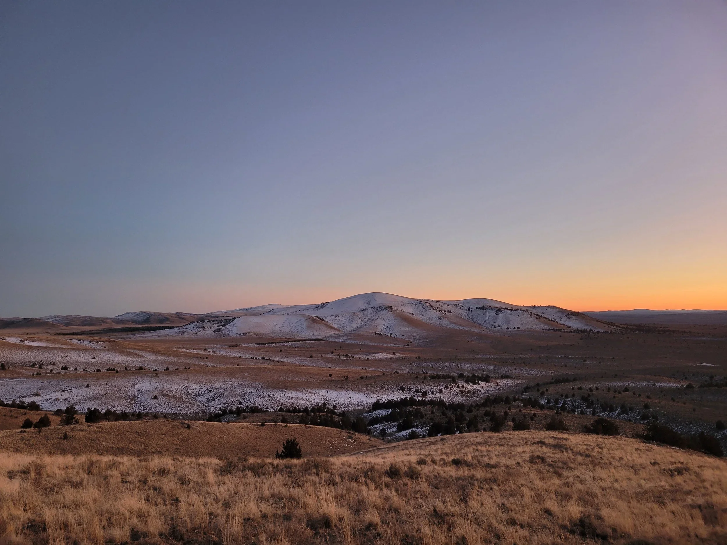
View of the Glass Buttes project.
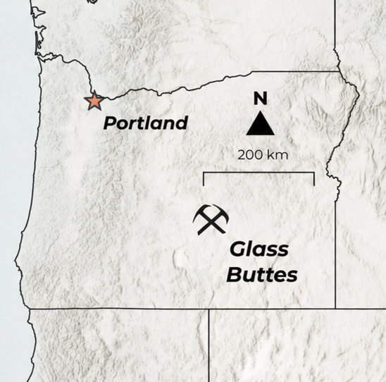
Location of the Glass Buttes Gold-Silver Project in Oregon.
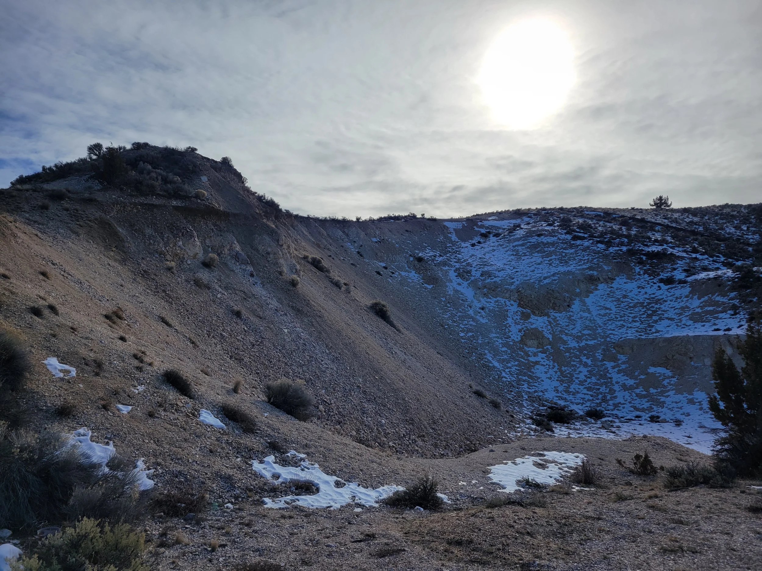
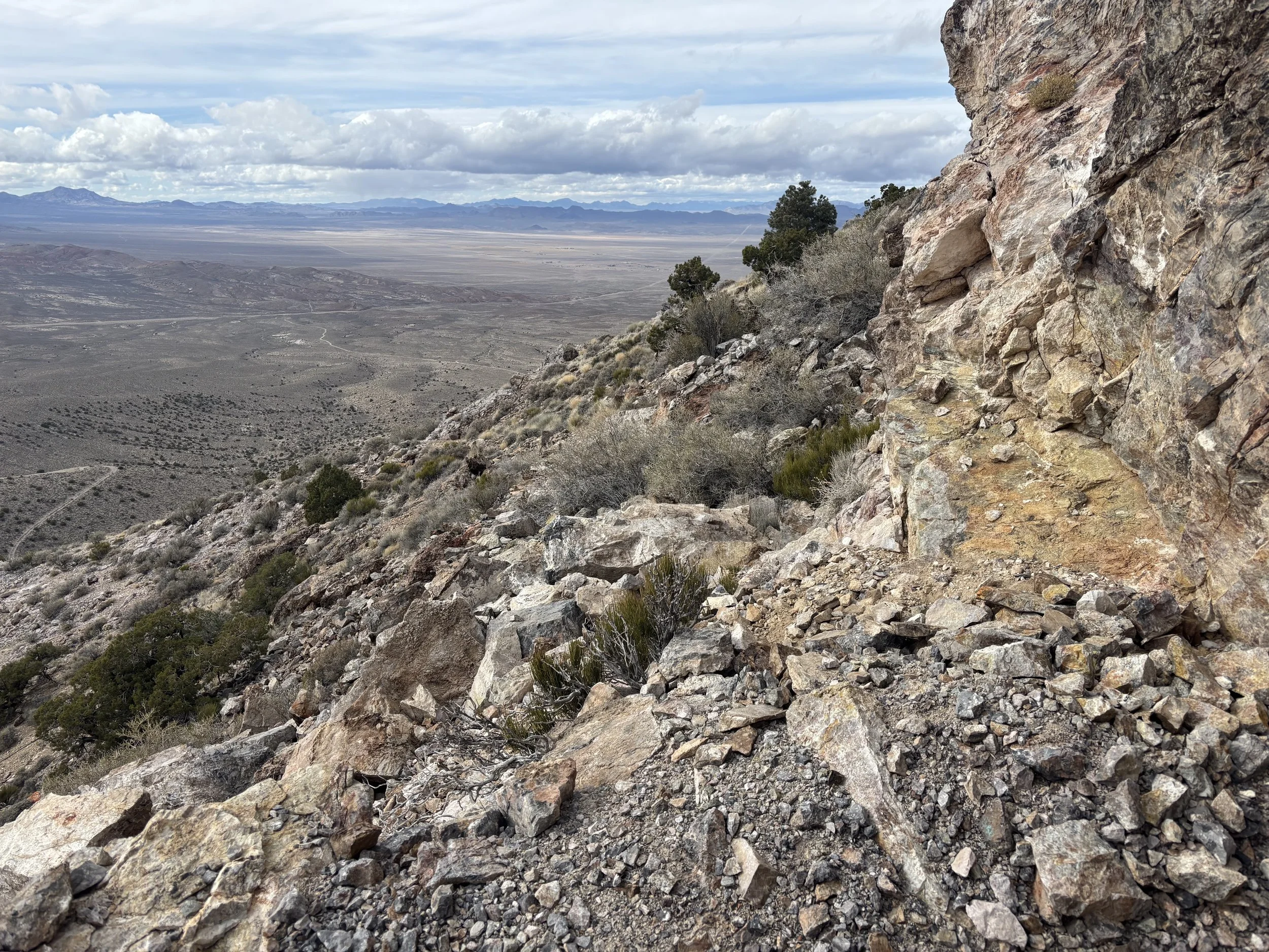
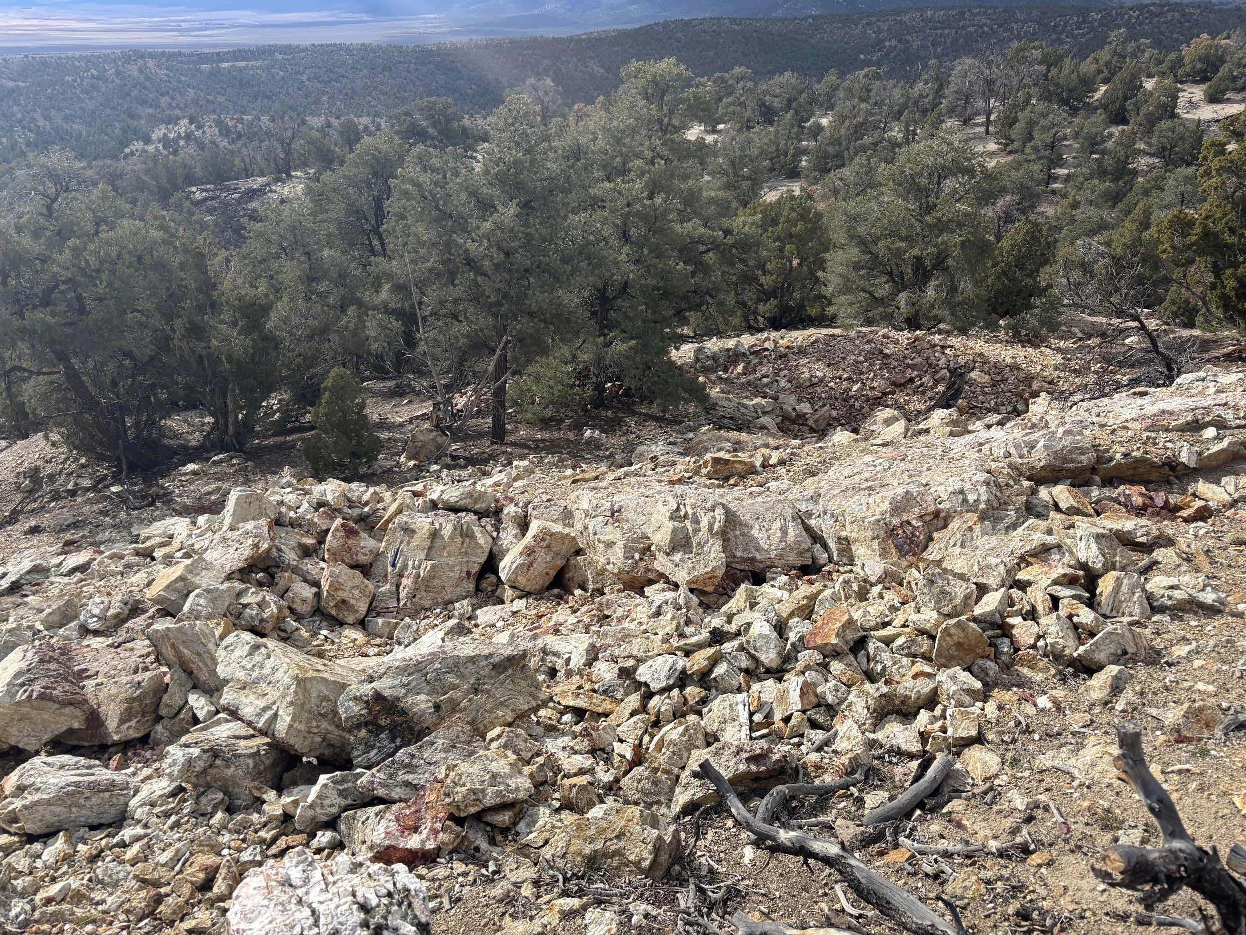
Historical mercury workings at Glass Buttes.
Highlights
• Commodity: Gold-Silver
• Deposit Type: Concealed Epithermal Gold-Silver Target Beneath a Mercury-Rich Steam Cap
• Location: Lake County, Oregon
• Surface Expression: Widespread advanced argillic alteration and mercury mineralization up to ~6,800 ppm Hg
• Target Depth: Approximately 100–300 m below surface along northwest-trending structures
• Status: Available for Sale or Option
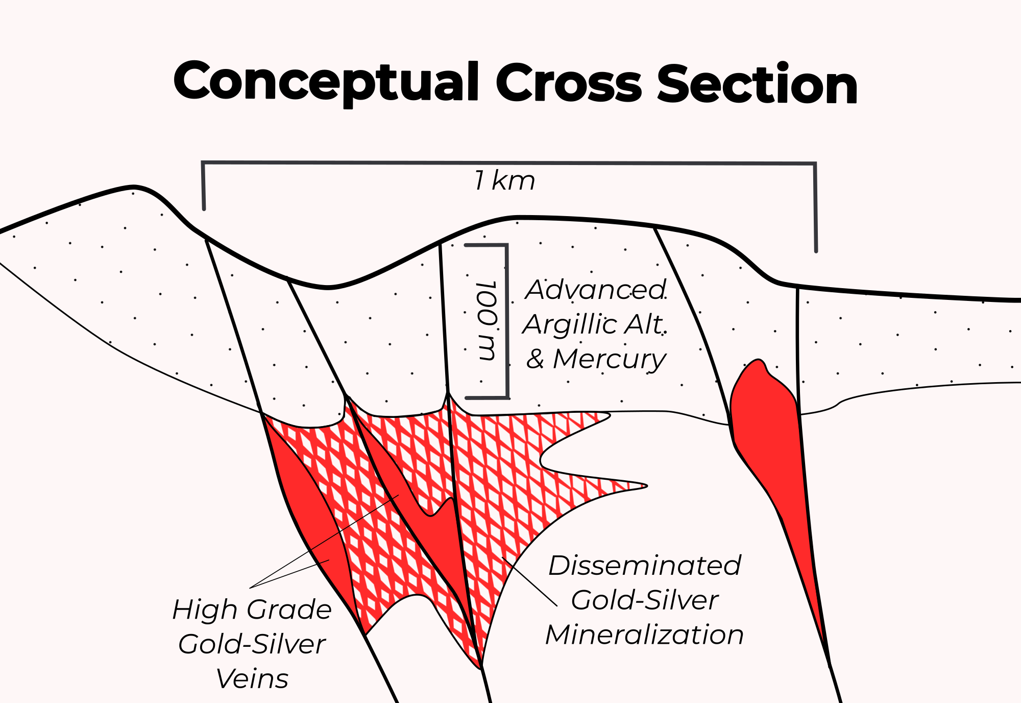
Conceptual cross section of the target at Glass Buttes, with a hypothesized precious-metals-rich boiling zone at depth that underlies mercury-bearing alteration at the surface.
Project Overview
The Glass Buttes Gold-Silver Project is located in northeastern Lake County, Oregon, approximately 45 km west of Burns, within the historic Glass Buttes mercury district. Nevada Legacy controls 15 unpatented lode claims covering part of an extensively altered volcanic complex interpreted to represent the shallow expression of a preserved epithermal-geothermal system. Historical work focused on mercury and, more recently, geothermal energy; despite widespread hydrothermal alteration and a well-developed structural framework, the district has no history of systematic gold exploration.
Location and Access
Located on BLM ground in Lake County, Oregon, with access from U.S. Highway 20 and a network of dirt roads. The project lies approximately 45 km west of Burns, where services and accommodations are available, and is generally accessible year-round.
Geologic Setting
Glass Buttes is a Pliocene-Pleistocene bimodal volcanic complex developed along the northwest-striking Brothers Fault Zone. The volcanic sequence consists of basalt overlain by a thick package of dacite, rhyolite, obsidian, perlite, and vitrophyre, with younger basalt locally capping the sequence. Numerous normal faults dissect the volcanic pile, with northwest-trending structures providing important controls on hydrothermal fluid flow.
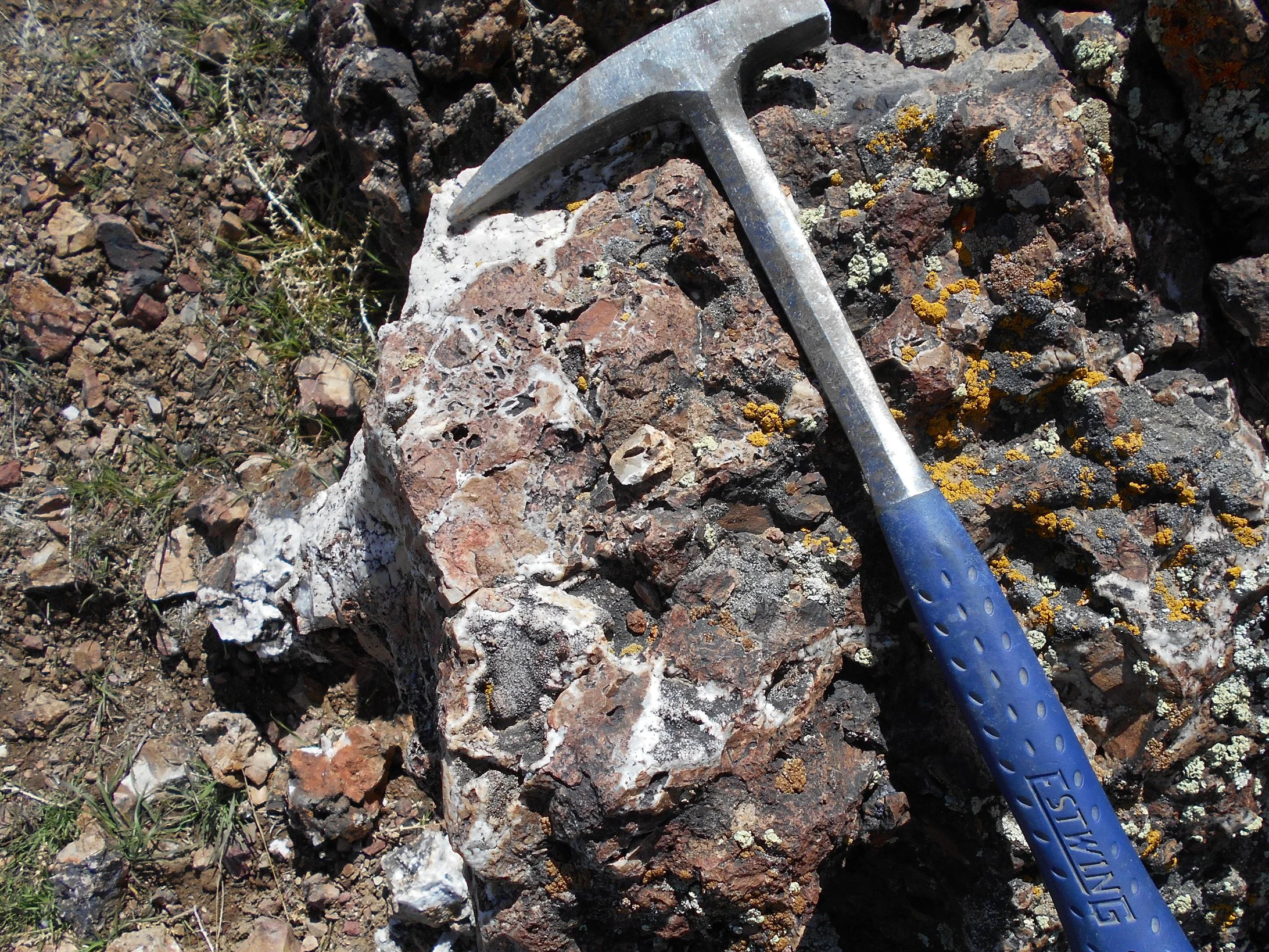
The project contains widespread opaline and chalcedonic silica, hydrothermal brecciation, mercury mineralization, and advanced argillic alteration characterized by alunite, kaolinite, and silica. These features are interpreted as the shallow, steam-heated expression of a fossil epithermal-geothermal system.
Mining History
Mercury was discovered at Glass Buttes in the 1930s and mined intermittently through the 1950s. Historical workings reportedly produced more than 500 flasks of mercury, with grades locally reaching approximately 6,800 ppm. Cinnabar occurs within opaline-chalcedonic silica bodies and hydrothermal breccias controlled principally by northwest-trending structures.
The district subsequently attracted substantial geothermal exploration. Phillips Petroleum conducted temperature-gradient drilling during the 1970s and 1980s, while Ormat Technologies completed a modern program during the 2010s incorporating LiDAR structural mapping, gravity, aeromagnetics, magnetotellurics, hyperspectral mineral mapping, and deep exploration drilling. Although geothermal exploration was ultimately unsuccessful, these programs generated an unusually extensive public-domain geological and geophysical dataset that provides a significant head start for mineral exploration.
Exploration Potential
Nevada Legacy interprets the exposed mercury mineralization, opaline silica, and advanced argillic alteration as a steam cap developed above a potentially mineralized epithermal system. In this model, boiling hydrothermal fluids may have deposited gold and silver at depth while mercury-rich vapor ascended into the shallow environment, producing the alteration and cinnabar mineralization now exposed at surface.
The principal exploration target is therefore concealed gold-silver mineralization approximately 100–300 meters below surface along the same northwest-trending structures that control the near-surface alteration and mercury mineralization. Precious-metal potential at these depths remains essentially untested. Modern geothermal datasets help define structural intersections, alteration zonation, and potential fluid pathways that can be used to refine drill targets.
Why Glass Buttes?
Nevada Legacy believes Glass Buttes represents an unusual opportunity to test a large, preserved epithermal system whose shallow expression has already been extensively mapped and characterized but whose precious-metal potential has never been systematically explored. The combination of widespread steam-heated alteration, high-grade mercury mineralization, favorable northwest-trending structures, and extensive existing geophysical and hyperspectral data provides a strong technical basis for targeting concealed gold-silver mineralization at depth.
References
Walsh, P., Boschmann, D., Martini, B., et al., Glass Buttes Exploration and Drilling Project, U.S. Department of Energy / Ormat Nevada, Inc., 2015.
Boschmann, D.E., Structural and Volcanic Evolution of the Glass Buttes Area, High Lava Plains, Oregon, M.S. Thesis, Oregon State University, 2012.
Brooks, H.C., Quicksilver in Oregon, Oregon Department of Geology and Mineral Industries Bulletin 55, 1963.
Johnson, K.E. & Ciancanelli, E.V., Geothermal Exploration at Glass Buttes, Oregon Geology, 1984.
Hedenquist, J.W. & Arribas, A., Exploration Implications of Multiple Formation Environments of Advanced Argillic Minerals, Economic Geology, 2022.
View Our Other Projects